 Plugin
PluginActualizado
Interactive World Maps
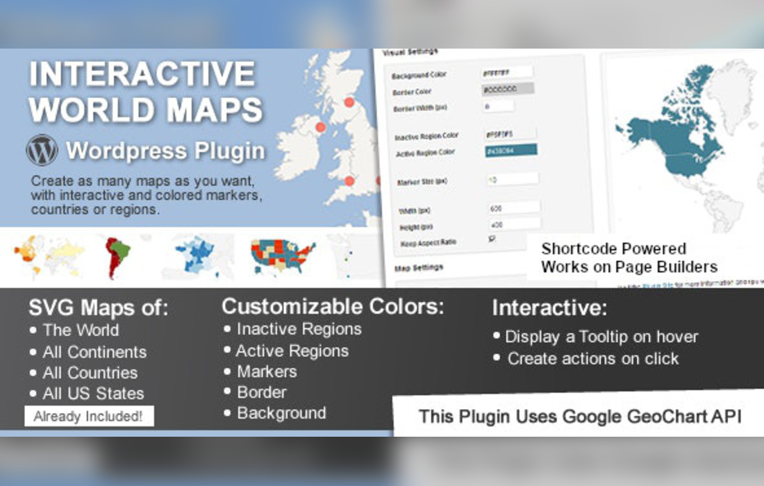
Interactive World Maps is a WordPress plugin by Carlos Moreira for creating interactive maps of the world, continents, countries, US states and metro areas.
Datos del producto
- Versión
- 2.5
- Publicado
- 24 octubre 2026
- Tipo
- Plugin
- Licencia
- GPL
- Incluido en
- Todos los planes, o $3.74 por separado
- Desarrollador
- Carlos Moreira
Resumen
Use Interactive World Maps to present geographic information on a WordPress site. Create maps showing the whole world, a continent, a country, a US state, or metropolitan areas. Color individual regions to represent data, territories, or custom categories, so visitors can explore information through a map rather than a plain list.
Add markers to highlight locations, then set a tooltip and an action for each map element. Actions can open a link or display content. The plugin includes hundreds of ready-made maps, and you can place finished maps in your content with a shortcode or the WPBakery element. Customize map colors, fonts, and animations to suit your site.
Features
- Maps by region: Create maps of the world, continents, countries, US states, or metropolitan areas to represent the geographic scope that suits your content.
- Color map regions: Set colors for individual regions to distinguish territories, custom categories, or data represented on the map.
- Interactive markers: Add markers to locations and give each one a tooltip and an action, such as opening a link or displaying content.
- Ready-made maps: Choose from hundreds of included maps as a starting point for geographic content about different places and regions.
- Shortcode and WPBakery: Place maps in your WordPress content with a shortcode or the WPBakery element.
- Adjust map appearance: Customize map colors, fonts, and animations to align the map's appearance with your website.
- Responsive display: Maps are designed to adapt to mobile devices and different screen sizes.
Best for
- Travel and destination websites
- Educators presenting geographic information
- Businesses showing territories and locations
Registro de cambios
Versión 2.5 — 22 abril 2024
- Seguridad Security improvements.
Preguntas frecuentes
¿Interactive World Maps es gratis?
El código de Interactive World Maps tiene licencia GPL, así que cualquiera puede usarlo, modificarlo y compartirlo. Mercado GPL es un servicio de pago: un plan o la compra de Interactive World Maps te da la descarga y sus actualizaciones. El soporte del propio desarrollador, su clave de licencia y sus servicios en línea no están incluidos.
¿Qué versión de Interactive World Maps es esta?
Versión 2.5, publicada el 24 octubre 2026. Las versiones nuevas aparecen aquí cuando el desarrollador las publica.
¿Cómo actualizo Interactive World Maps?
Instala MercadoGPL Updater en tu sitio y pega tu clave de Mi cuenta. Instalará por ti las versiones nuevas de Interactive World Maps.
También te puede gustar
Plugin Plugin
 Plugin
 Plugin
 Plugin
 Plugin
 Plugin
 Plugin